Aquacoustic

Stationary 3d Sonar Surveys

Cliff Face Survey, Lake Powell

The  above image, shows a surface map of a dam area with sonar below water & laser data above

3D Sonar Surveys Through Ice

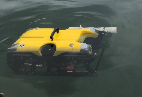
3D sonar survey equipment consists of a profiling sonar head, an IMU, an indexing motor plus a theodolite to collect the initial  bearing. The step angle of the sonar and indexing motor are set to maximize data quality without sacrificing time on site.

During a 3D survey, the sonar operator uses the on screen image to optimize the incoming sonar data.

The useful range is up to 50 meters, although ranges up to 120 meters can be collected.

The sonar data has to be post processed for any definitive conclusions.

3D Sonar/Laser From a Structure

The portability of the system means that it can be easily and quickly deployed, keeping inspection costs to a minimum, and enabling frequent monitoring of critical areas.

3D Sonar On an ROV

In confined areas the ROV can stabilize by utilizing the structure, then running the 3D Sonar unit. This is a good tool to assess and measure vertical walls such as trash racks, gates, stop log guides scouring ,undermining and tunnels in an efficient and cost effective manner.

Download our PDF for more information and up-to date  deliverables