Bathymetric survey of a flooded open pit mine
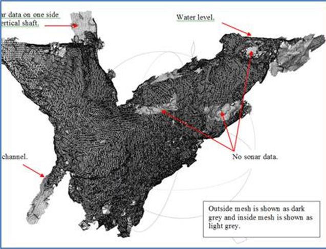
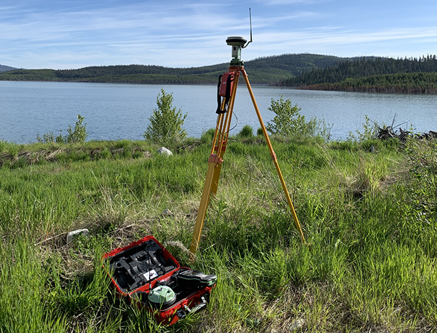
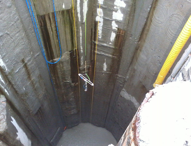
Mine surveys provide critical information about the mine’s physical properties. They play a role in ensuring the safety of workers, increasing the efficiency of mining operations, reducing costs, ensuring compliance with regulations, and providing valuable historical records.
The 3D Sonar and/or Laser Profiler unit can be deployed through a bore hole or opening as small as 6” (150 mm). The Sonar profiler depth rating is for 1,000m (3,200 ft.)
System Specifications:
Detailed bathymetric surveys
Digitally remove flooded debris from the resulting bottom features
Obtain water volumes
We have developed a system that can: