Aquacoustic

Mine Survey Technologies

Collect angle of repose data from under pile docks

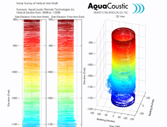
Mine survey deliverables

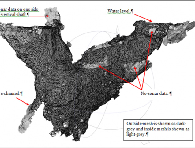
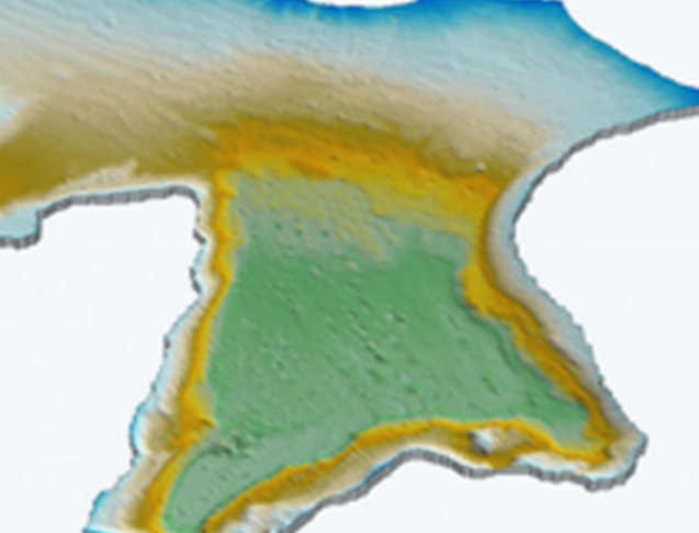
This image shows processed sonar data of a flooded 200 by 300 meter mine stope. Five different boreholes where used.

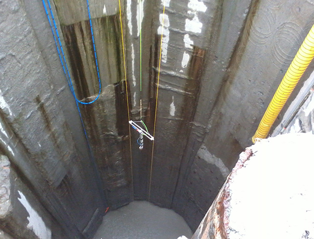
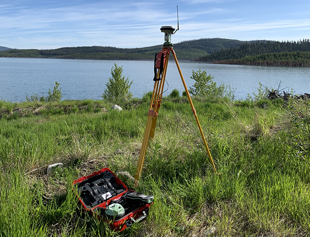
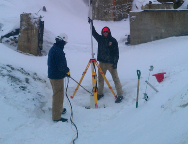
Survey 4 to 5 boreholes per day Tie multiple surveys together
2,500’ system tether lengths available Useful sonar range of 100 m 
Sound footprint, approx. 3% of range. We use Total Stations and RTK GPS units.

Borehole

We have developed a system capable of profiling through drilling mud and
surveying to significant depths.

The system is compact and can be shipped by air cargo.

Tailings pond bathymetry

Detailed bathymetric surveysDigitally remove flooded debris from the resulting bottom features

Obtain water volumes

Mine stopes 3D

An in house designed system that can be deployed through 6” boreholes, create a dense point cloud, in areas such as flooded mine stopes and galleries

Depths of 1,000’ attainable

Accuracies: Laser 7mm, Sonar 20 mm

Bore hole deliverables

This image is part of the deliverables of a borehole sonar survey, note the angled soft stratum.

Hardware and software was developed in house Produces an underwater 3D point cloud (XYZ data) Approximately 2 cm accuracy.

Tailings pond deliverables

This image shows a tailings pond bathymetric survey with the flooded debris digitally removed.