Geomatics
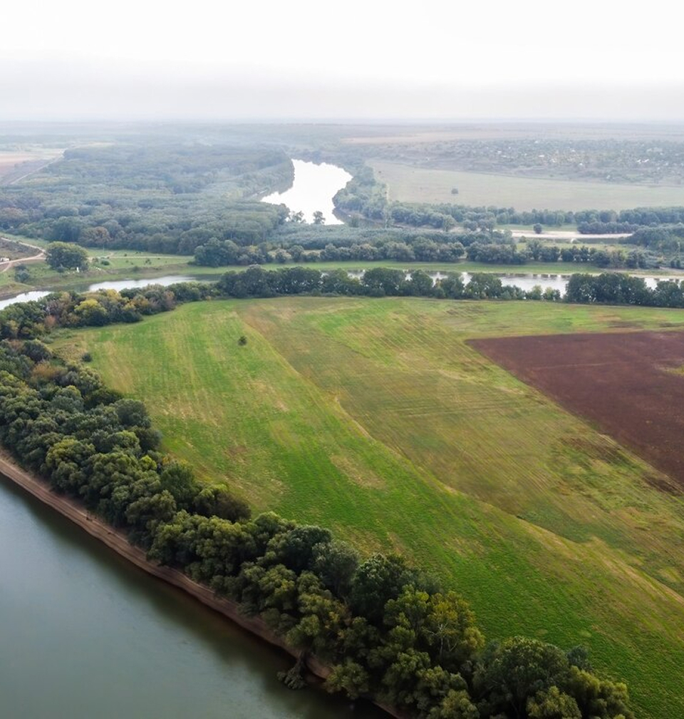
Reservoir survey for water intake pipes, Arizona
AquaCoustic is a survey company in the Geomatics field. Geomatics is an umbrella term for the tasks of gathering, processing, modeling, integration, and the visualization of spatially referenced information.
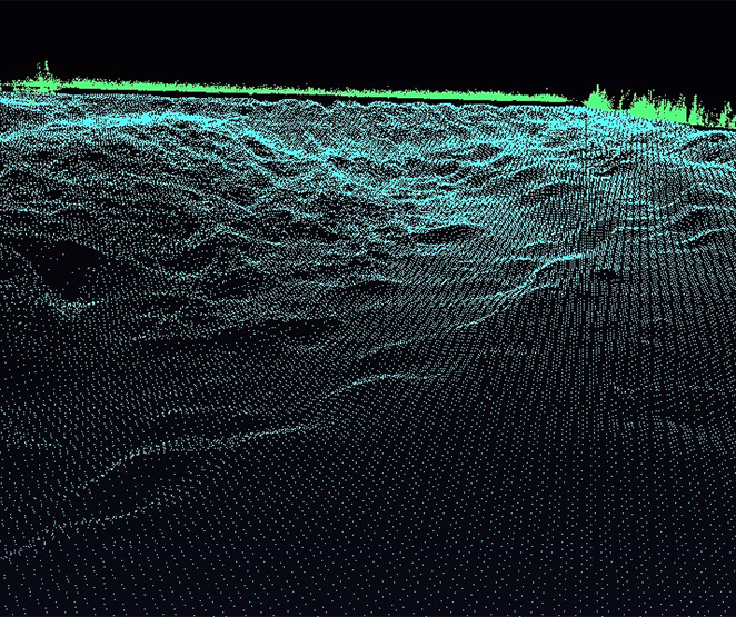
We use remote sensors including lasers and sonar scanners combined with computer programs to understand and present spatial data.
Geomatics can be used to assess the risk of failure or other catastrophic events. This may involve creating detailed models, which can be used to simulate different scenarios and assess the potential impact of various hazards. Geomatics can also be used to monitor slope stability over time, detecting any signs of deformation or other potential problems. The information is also used to identify areas that require maintenance or repair.
The data is converted to useable information for computer modeling.
We deliver the information that allows our clients to make meaningful decisions
AquaCoustic can provide accurate spatial data to municipalities. Some of the common areas of information:
- Managing water resources
- Identifying areas at risk of flooding
- Managing municipal infrastructure
- Identifying areas at risk of erosion
- Planning and managing storm water systems
- Mapping and managing geologic hazards such as sinkholes
- Conducting surveys of underground infrastructure such as pipes and cables
- River bottom movement over pipe and cable river crossings
- Bridge and bridge abutment surveys
- Creating accurate 3D models of water treatment facilities
- Creating accurate 3D models of various structures